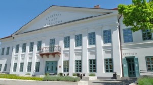
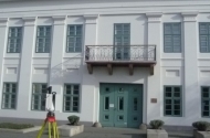
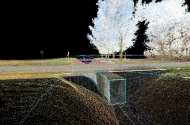
Based on point clouds both from building’s external and internal looks could produce 3D models. Futhermore with 3D laser scanning the facade surveying is more efficiently, faster and more spectacular than with the traditional geodetical procedure.
Assist the evaluation photos are created during the scanning, which ones could apply to the points, so the entire pointcloud would equip with real colour information.
With traditional instruments the economical survey offers relatively few facade points, but in special cases it couldn’t permitted to lose the detailes. In that case apply laser scanner is more cost effective in this regard.
In the course of engineering geodesy applications the measuring results in different time, or rather the models made from these measurements can compare and in this way the engineering structures’ deformation and movement would be detectable. From the nature of these comparison the specialists (geologist, bridge-constructor engineer, etc) can conclude the causes of problems.
– facade surveying
– modeling
– deformation monitoring
– monitoring

