


(HU) Technológiai fejlesztés a modern termelési kihívások és kapacitás bővítés érdekében a Geodézia Kft-nél.
Sorry, this entry is only available in HU. more
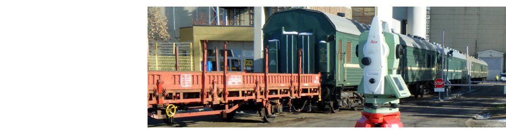
(HU) Az Európai Neutronkutató Központ Magyaroroszágon készült szerkezeti elemeinek nagy pontosságú felmérése
Sorry, this entry is only available in HU.
(HU) Sió Árvízkapu szegmenszsilip felmérése és 3D modellezése
Sorry, this entry is only available in HU.
more
Surveying
Digitális térképkészítés, mérnökgeodézia, közműfelmérések, földmérési alaptérképi tartalmat érintő munkarészek kész�...
more
Digital mapping
A Nemzeti Kataszteri Program keretében a Földművelésügyi és Vidékfejlesztési Minisztérium felügyelete mellett valósult meg az ...
Surveying of public utilities
Közműhálózatok felmérése, dokumentálása, közműszolgáltató cégek térinformatikai rendszerének adatfeltöltése, település...
more
Possessory
[:hu] Osztatlan közös földtulajdon megszüntetésére irányuló geodéziai és földmérési feladat (NKP-KHT):
- Kapos... more
Digital mapping
Állami alaptérképek elkészítése az MSZ 7772-1 szabvány és a DAT1, DAT2 szakmai szabályzat szerint: <...