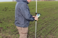
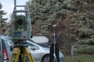
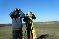
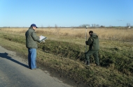
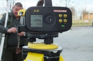
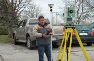
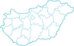
First of all, we prepare a wide range of works and its documentation regarding to base map’s content. For example dividing of plots, expropaiation, delimitation and staking out of plots.
DIGITAL MAPPING
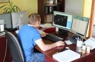
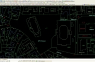
Under the National Cadastral Program with the Ministry of Agriculture and Rural Development’s supervision the base maps and theirs related databases have been completed on the area of the whole country. These databases are in the right structure so they are suitable for digital mapping requirements of national economy. And these maps are the geometrical bases of the real estate or land register.
ENGINEERING SURVEYS
Performing geodetical tasks for design and construction of roads, rails, water and industrial installations. Motion investigation of constructions and structures.
no images were found


